Sea Wall and Road to Waldens
Introduction
The photograph on this page of Sea Wall and Road to Waldens by Glyn Baker as part of the Geograph project.
The Geograph project started in 2005 with the aim of publishing, organising and preserving representative images for every square kilometre of Great Britain, Ireland and the Isle of Man.

There are currently over 7.5m images from over 14,400 individuals and you can help contribute to the project by visiting https://www.geograph.org.uk
Sea Wall and Road to Waldens
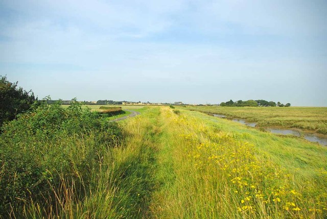
Image: © Glyn Baker Taken: 19 Aug 2012
The farm road to Waldens can be seen on the right. The footpath to Image runs along the sea wall.
Images are licensed for reuse under creativecommons.org/licenses/by-sa/2.0
Image Location


Leaflet Map data © OpenStreetMap
Latitude
51.582383
Longitude
0.745722