Broomhills Fisheries
Introduction
The photograph on this page of Broomhills Fisheries by Glyn Baker as part of the Geograph project.
The Geograph project started in 2005 with the aim of publishing, organising and preserving representative images for every square kilometre of Great Britain, Ireland and the Isle of Man.

There are currently over 7.5m images from over 14,400 individuals and you can help contribute to the project by visiting https://www.geograph.org.uk
Broomhills Fisheries
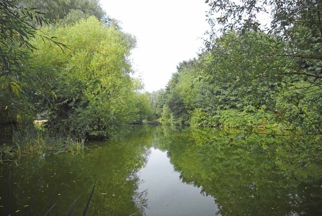
Image: © Glyn Baker Taken: 19 Aug 2012
Broomhills lake http://www.broomhillsfishery.co.uk/ is one of a number of fish torturing centres around here! However if it wasn't for the efforts and significant investment of time and capital of anglers, many lakes and ponds would silt up. They would then no longer be suitable habitat for fish, so I suppose the relationship is symbiotic.
Images are licensed for reuse under creativecommons.org/licenses/by-sa/2.0
Image Location
Latitude
51.581456
Longitude
0.723724