Dripping Pan Car Park
Introduction
The photograph on this page of Dripping Pan Car Park by Simon Carey as part of the Geograph project.
The Geograph project started in 2005 with the aim of publishing, organising and preserving representative images for every square kilometre of Great Britain, Ireland and the Isle of Man.

There are currently over 7.5m images from over 14,400 individuals and you can help contribute to the project by visiting https://www.geograph.org.uk
Dripping Pan Car Park
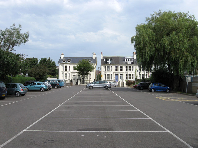
Image: © Simon Carey Taken: 19 Aug 2012
Originally in the grounds of the Priory of St Pancras this strip of land between the football ground and The Mount was the site of tennis courts during the mid part of the 20th century but is now a small public car park. The houses at the far end are located in Mountfield Road.
Images are licensed for reuse under creativecommons.org/licenses/by-sa/2.0
Image Location
Latitude
50.869285
Longitude
0.011116