Lansdowne Place
Introduction
The photograph on this page of Lansdowne Place by Simon Carey as part of the Geograph project.
The Geograph project started in 2005 with the aim of publishing, organising and preserving representative images for every square kilometre of Great Britain, Ireland and the Isle of Man.

There are currently over 7.5m images from over 14,400 individuals and you can help contribute to the project by visiting https://www.geograph.org.uk
Lansdowne Place
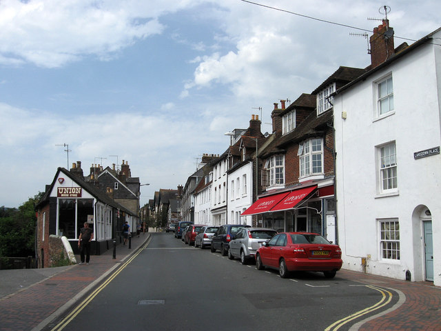
Image: © Simon Carey Taken: 19 Aug 2012
A continuation of Friars Walk and the B2193. It was laid out in 1827.
Images are licensed for reuse under creativecommons.org/licenses/by-sa/2.0
Image Location
Latitude
50.871961
Longitude
0.012369