Permissive bridleway, Rollestone
Introduction
The photograph on this page of Permissive bridleway, Rollestone by Derek Harper as part of the Geograph project.
The Geograph project started in 2005 with the aim of publishing, organising and preserving representative images for every square kilometre of Great Britain, Ireland and the Isle of Man.

There are currently over 7.5m images from over 14,400 individuals and you can help contribute to the project by visiting https://www.geograph.org.uk
Permissive bridleway, Rollestone
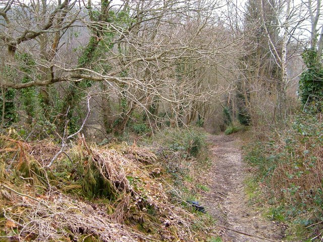
Image: © Derek Harper Taken: 16 Mar 2006
A pre-leaf view of the scene in Image, as the path drops into the valley of the Minchinglake Stream.
Images are licensed for reuse under creativecommons.org/licenses/by-sa/2.0
Image Location
Latitude
50.744715
Longitude
-3.517926