Old lane crossing Mulberry Downs
Introduction
The photograph on this page of Old lane crossing Mulberry Downs by Sheila Russell as part of the Geograph project.
The Geograph project started in 2005 with the aim of publishing, organising and preserving representative images for every square kilometre of Great Britain, Ireland and the Isle of Man.

There are currently over 7.5m images from over 14,400 individuals and you can help contribute to the project by visiting https://www.geograph.org.uk
Old lane crossing Mulberry Downs
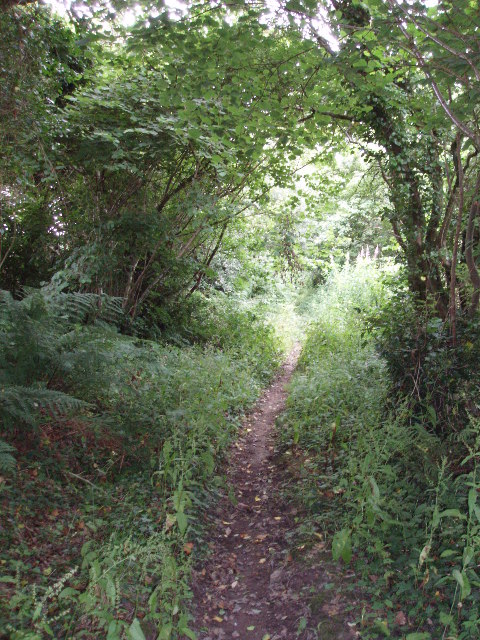
Image: © Sheila Russell Taken: 26 Jul 2005
A public footpath, kept in use by horseriders mainly. Many inland Cornish footpaths are too overgrown to walk and this is a lovely exception.
Images are licensed for reuse under creativecommons.org/licenses/by-sa/2.0
Image Location
Latitude
50.464986
Longitude
-4.784211