
Hollingbury Dew Pond
Introduction
The photograph on this page of Hollingbury Dew Pond by Paul Gillett as part of the Geograph project.
The Geograph project started in 2005 with the aim of publishing, organising and preserving representative images for every square kilometre of Great Britain, Ireland and the Isle of Man.

There are currently over 7.5m images from over 14,400 individuals and you can help contribute to the project by visiting https://www.geograph.org.uk
Hollingbury Dew Pond
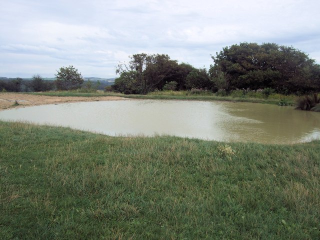
Image: © Paul Gillett Taken: 21 Aug 2012
This restoration was from an overgrown site, the pond had been partly filled/flattened out with the rubble from a nearby barn that was demolished, early 1900's to make a green for the golf course. Subsequently (1950's ?) the course was remodelled and this area left to become overgrown. Efforts by volunteers cleared the site and surrounding area to allow restoration. Again, high rainfal has resulted in a higher than expected water level and erosion, recently made good with new clay. http://dewponds.co.uk/bton_hollingbury.htm
Images are licensed for reuse under creativecommons.org/licenses/by-sa/2.0
Image Location

Latitude
50.853126
Longitude
-0.117291