King Street, Yarburgh, chapel railing
Introduction
The photograph on this page of King Street, Yarburgh, chapel railing by Chris as part of the Geograph project.
The Geograph project started in 2005 with the aim of publishing, organising and preserving representative images for every square kilometre of Great Britain, Ireland and the Isle of Man.

There are currently over 7.5m images from over 14,400 individuals and you can help contribute to the project by visiting https://www.geograph.org.uk
King Street, Yarburgh, chapel railing
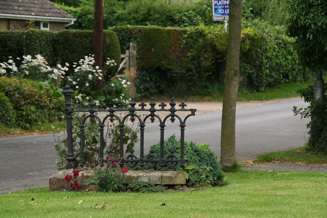
Image: © Chris Taken: 21 Aug 2012
This is a detail of Peter Church's photo Image There used to be two methodist chapels in King Street, and this is all that remains of the eastern one. See also Image
Images are licensed for reuse under creativecommons.org/licenses/by-sa/2.0
Image Location


Leaflet Map data © OpenStreetMap
Latitude
53.418123
Longitude
0.031692