Lower Southwood
Introduction
The photograph on this page of Lower Southwood by Derek Harper as part of the Geograph project.
The Geograph project started in 2005 with the aim of publishing, organising and preserving representative images for every square kilometre of Great Britain, Ireland and the Isle of Man.

There are currently over 7.5m images from over 14,400 individuals and you can help contribute to the project by visiting https://www.geograph.org.uk
Lower Southwood
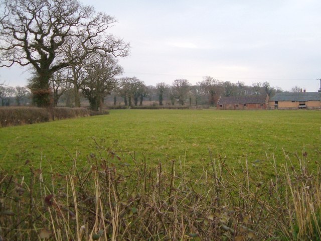
Image: © Derek Harper Taken: 14 Mar 2006
The farm seen from Silver Lane across a field on a gloomy morning. The farmhouse and adjoining cottage are listed http://list.english-heritage.org.uk/resultsingle.aspx?uid=1203715&searchtype=mapsearch , but I don't think either are visible in this scene.
Images are licensed for reuse under creativecommons.org/licenses/by-sa/2.0
Image Location
Latitude
50.731955
Longitude
-3.387148