Former Wesleyan chapel, Hastings
Introduction
The photograph on this page of Former Wesleyan chapel, Hastings by Stephen Craven as part of the Geograph project.
The Geograph project started in 2005 with the aim of publishing, organising and preserving representative images for every square kilometre of Great Britain, Ireland and the Isle of Man.

There are currently over 7.5m images from over 14,400 individuals and you can help contribute to the project by visiting https://www.geograph.org.uk
Former Wesleyan chapel, Hastings
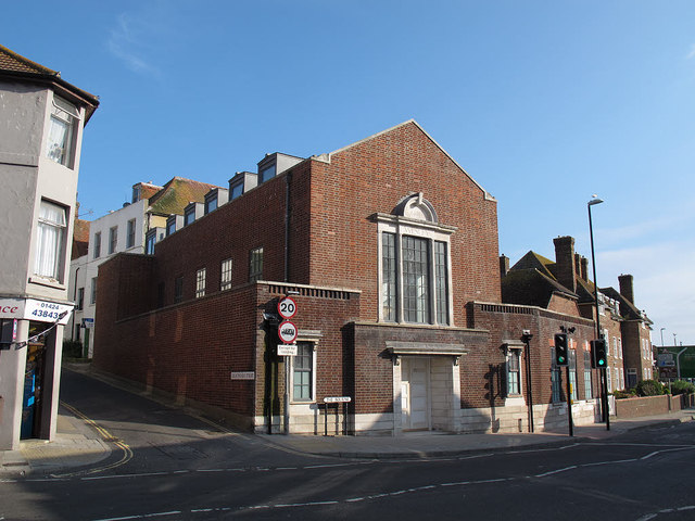
Image: © Stephen Craven Taken: 12 Aug 2012
The building on The Bourne appears to have been renovated since the previous image on the site when it was a closed cafe Image The dormer windows suggest conversion to residential use.
Images are licensed for reuse under creativecommons.org/licenses/by-sa/2.0
Image Location
Latitude
50.857003
Longitude
0.592608