Stile on Bonchester Hill
Introduction
The photograph on this page of Stile on Bonchester Hill by Jim Barton as part of the Geograph project.
The Geograph project started in 2005 with the aim of publishing, organising and preserving representative images for every square kilometre of Great Britain, Ireland and the Isle of Man.

There are currently over 7.5m images from over 14,400 individuals and you can help contribute to the project by visiting https://www.geograph.org.uk
Stile on Bonchester Hill
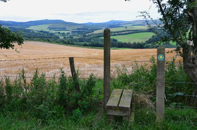
Image: © Jim Barton Taken: 19 Aug 2012
The Hawick Paths waymark indicates the route from the A6088. The path continues N to the summit, with stiles or gates at the field boundaries.
Images are licensed for reuse under creativecommons.org/licenses/by-sa/2.0
Image Location
Latitude
55.392699
Longitude
-2.643446