The Gogo Burn
Introduction
The photograph on this page of The Gogo Burn by Thomas Nugent as part of the Geograph project.
The Geograph project started in 2005 with the aim of publishing, organising and preserving representative images for every square kilometre of Great Britain, Ireland and the Isle of Man.

There are currently over 7.5m images from over 14,400 individuals and you can help contribute to the project by visiting https://www.geograph.org.uk
The Gogo Burn
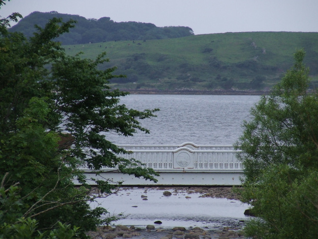
Image: © Thomas Nugent Taken: 21 Jul 2012
Looking out to sea from Largs railway station. The bridge is at Mackerston Place.
Images are licensed for reuse under creativecommons.org/licenses/by-sa/2.0
Image Location
Latitude
55.791836
Longitude
-4.869428