Bonchester Bridge
Introduction
The photograph on this page of Bonchester Bridge by Jim Barton as part of the Geograph project.
The Geograph project started in 2005 with the aim of publishing, organising and preserving representative images for every square kilometre of Great Britain, Ireland and the Isle of Man.

There are currently over 7.5m images from over 14,400 individuals and you can help contribute to the project by visiting https://www.geograph.org.uk
Bonchester Bridge
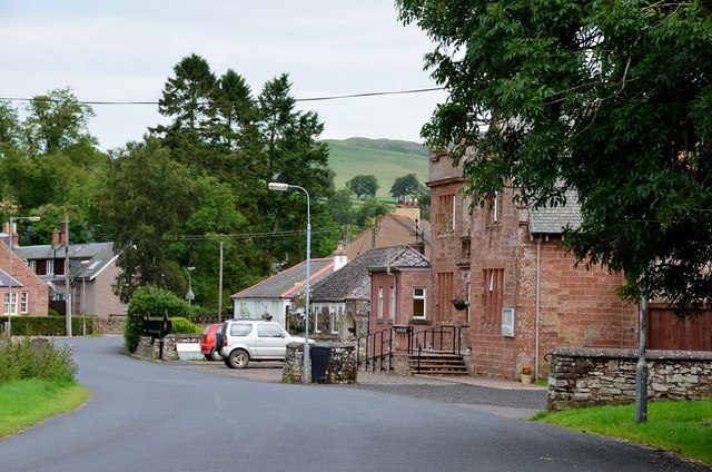
Image: © Jim Barton Taken: 19 Aug 2012
The minor road from Hobkirk entering the village with the Laidlaw Memorial Hall on the right.
Images are licensed for reuse under creativecommons.org/licenses/by-sa/2.0
Image Location
Latitude
55.398655
Longitude
-2.655701