Mill Lane
Introduction
The photograph on this page of Mill Lane by James Ayres as part of the Geograph project.
The Geograph project started in 2005 with the aim of publishing, organising and preserving representative images for every square kilometre of Great Britain, Ireland and the Isle of Man.

There are currently over 7.5m images from over 14,400 individuals and you can help contribute to the project by visiting https://www.geograph.org.uk
Mill Lane
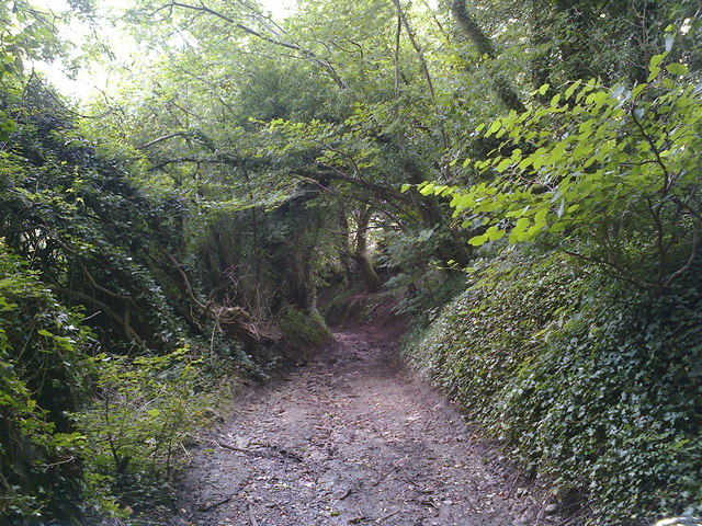
Image: © James Ayres Taken: 18 Aug 2012
Looking downhill just before the byway becomes a sunken lane in a deep gulley.
Images are licensed for reuse under creativecommons.org/licenses/by-sa/2.0
Image Location
Latitude
51.321306
Longitude
-2.475945