The site of Queen's Walk tram stop
Introduction
The photograph on this page of The site of Queen's Walk tram stop by John Sutton as part of the Geograph project.
The Geograph project started in 2005 with the aim of publishing, organising and preserving representative images for every square kilometre of Great Britain, Ireland and the Isle of Man.

There are currently over 7.5m images from over 14,400 individuals and you can help contribute to the project by visiting https://www.geograph.org.uk
The site of Queen's Walk tram stop
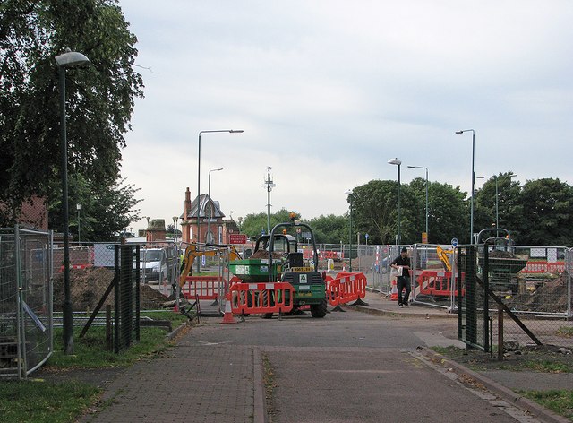
Image: © John Sutton Taken: 18 Aug 2012
The tram stop will be at the bottom end of Queen's Walk, next to the roundabout at Wilford Toll Bridge.
Images are licensed for reuse under creativecommons.org/licenses/by-sa/2.0
Image Location
Latitude
52.9389
Longitude
-1.153759