Liscombe Road, Dunstable
Introduction
The photograph on this page of Liscombe Road, Dunstable by Paul Buckingham as part of the Geograph project.
The Geograph project started in 2005 with the aim of publishing, organising and preserving representative images for every square kilometre of Great Britain, Ireland and the Isle of Man.

There are currently over 7.5m images from over 14,400 individuals and you can help contribute to the project by visiting https://www.geograph.org.uk
Liscombe Road, Dunstable
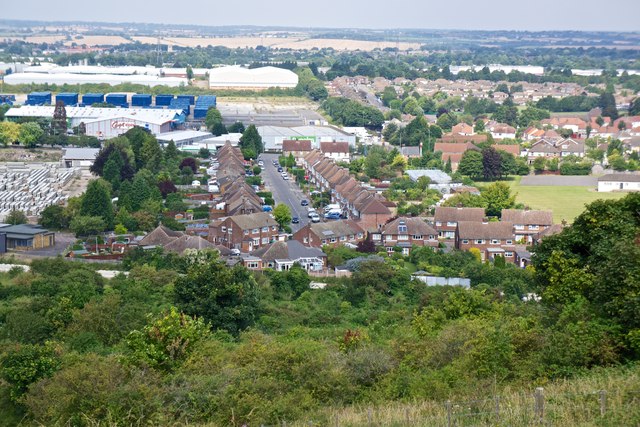
Image: © Paul Buckingham Taken: 12 Aug 2012
View of road from Blow's Downs. This was where I lived until I was 18. There was a railway line between the top of the road and Blow's Downs, which is now being converted to a guided busway between Luton and Dunstable. The trackbed can be seen running through the centre of the picture.
Images are licensed for reuse under creativecommons.org/licenses/by-sa/2.0
Image Location
Latitude
51.886205
Longitude
-0.501798