Climbing Blow's Downs
Introduction
The photograph on this page of Climbing Blow's Downs by Paul Buckingham as part of the Geograph project.
The Geograph project started in 2005 with the aim of publishing, organising and preserving representative images for every square kilometre of Great Britain, Ireland and the Isle of Man.

There are currently over 7.5m images from over 14,400 individuals and you can help contribute to the project by visiting https://www.geograph.org.uk
Climbing Blow's Downs
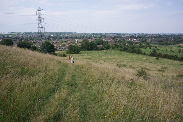
Image: © Paul Buckingham Taken: 12 Aug 2012
Blow's downs is an outlier of the Chiltern hills separated from the bulk of the range by the valley which carries the A5 road through Dunstable
Images are licensed for reuse under creativecommons.org/licenses/by-sa/2.0
Image Location
Latitude
51.882452
Longitude
-0.503666