Potato Field near Ryton on Dunsmore
Introduction
The photograph on this page of Potato Field near Ryton on Dunsmore by Nigel Mykura as part of the Geograph project.
The Geograph project started in 2005 with the aim of publishing, organising and preserving representative images for every square kilometre of Great Britain, Ireland and the Isle of Man.

There are currently over 7.5m images from over 14,400 individuals and you can help contribute to the project by visiting https://www.geograph.org.uk
Potato Field near Ryton on Dunsmore
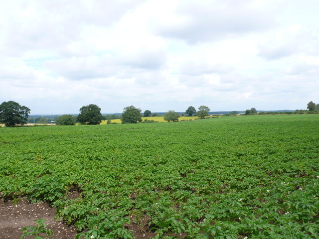
Image: © Nigel Mykura Taken: 6 Aug 2012
This field is about half way between Ryton and Stretton. in the far distance although not very clear in this shot is the city of Coventry. The photo was taken only a few metres from the south east corner of the grid square.
Images are licensed for reuse under creativecommons.org/licenses/by-sa/2.0
Image Location


Leaflet Map data © OpenStreetMap
Latitude
52.354427
Longitude
-1.415156