Ford Farm
Introduction
The photograph on this page of Ford Farm by Derek Harper as part of the Geograph project.
The Geograph project started in 2005 with the aim of publishing, organising and preserving representative images for every square kilometre of Great Britain, Ireland and the Isle of Man.

There are currently over 7.5m images from over 14,400 individuals and you can help contribute to the project by visiting https://www.geograph.org.uk
Ford Farm
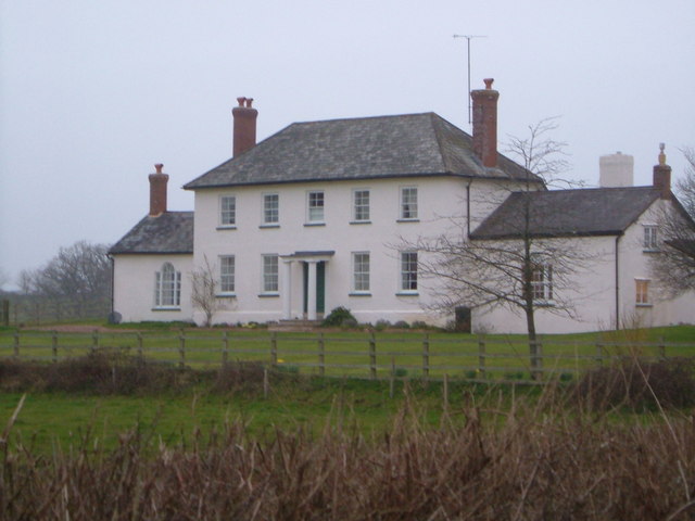
Image: © Derek Harper Taken: 29 Mar 2006
The C18 farmhouse, which straddles a gridline, is described in detail at http://list.english-heritage.org.uk/resultsingle.aspx?uid=1141383&searchtype=mapsearch . Seen here on a murky evening from Gribble Lane.
Images are licensed for reuse under creativecommons.org/licenses/by-sa/2.0
Image Location
Latitude
50.743417
Longitude
-3.376148