Closed lane, Westcott
Introduction
The photograph on this page of Closed lane, Westcott by Derek Harper as part of the Geograph project.
The Geograph project started in 2005 with the aim of publishing, organising and preserving representative images for every square kilometre of Great Britain, Ireland and the Isle of Man.

There are currently over 7.5m images from over 14,400 individuals and you can help contribute to the project by visiting https://www.geograph.org.uk
Closed lane, Westcott
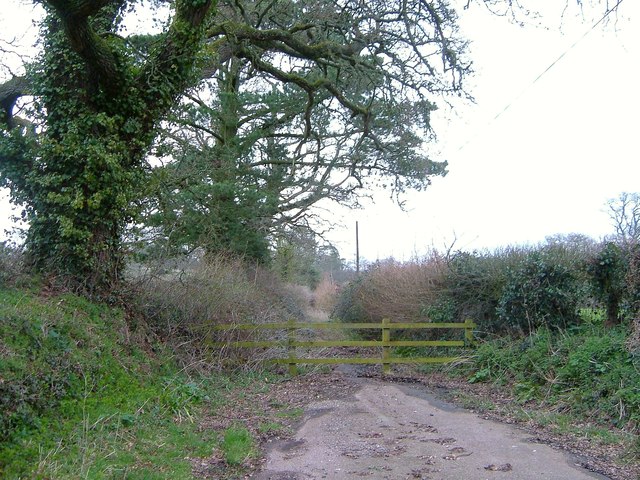
Image: © Derek Harper Taken: 29 Mar 2006
Truncated by the A30 dual carriageway which was completed in 1999, Rag Lane used to link Westcott with Rockbeare House. A fence now bars progress.
Images are licensed for reuse under creativecommons.org/licenses/by-sa/2.0
Image Location
Latitude
50.73209
Longitude
-3.375816