Outdated road sign, Avondale Road, Griffithstown
Introduction
The photograph on this page of Outdated road sign, Avondale Road, Griffithstown by Jaggery as part of the Geograph project.
The Geograph project started in 2005 with the aim of publishing, organising and preserving representative images for every square kilometre of Great Britain, Ireland and the Isle of Man.

There are currently over 7.5m images from over 14,400 individuals and you can help contribute to the project by visiting https://www.geograph.org.uk
Outdated road sign, Avondale Road, Griffithstown
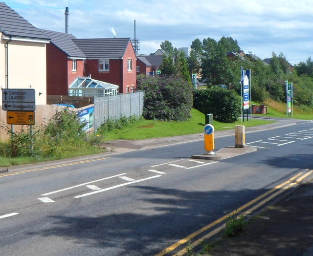
Image: © Jaggery Taken: 18 Aug 2012
Despite the addition on the left of a yellow sign pointing left towards recently-built houses in Hanbury Court, http://www.geograph.org.uk/photo/2789203 the sign above it, also pointing left, has remained in place. It is for the now-demolished steelworks on the site of which the houses were built.
Images are licensed for reuse under creativecommons.org/licenses/by-sa/2.0
Image Location
Latitude
51.675614
Longitude
-3.019956