Thatched cottages, Aylesbeare
Introduction
The photograph on this page of Thatched cottages, Aylesbeare by Derek Harper as part of the Geograph project.
The Geograph project started in 2005 with the aim of publishing, organising and preserving representative images for every square kilometre of Great Britain, Ireland and the Isle of Man.

There are currently over 7.5m images from over 14,400 individuals and you can help contribute to the project by visiting https://www.geograph.org.uk
Thatched cottages, Aylesbeare
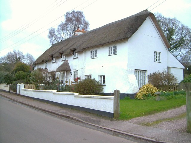
Image: © Derek Harper Taken: 29 Mar 2006
A severely over-exposed image, but submitted as no one else has taken this trio of listed cottages, described as a pair in the description at http://list.english-heritage.org.uk/resultsingle.aspx?uid=1141431&searchtype=mapsearch . Truants, formerly the larger part nearer the camera, has since been sub-divided.
Images are licensed for reuse under creativecommons.org/licenses/by-sa/2.0
Image Location
Latitude
50.718838
Longitude
-3.363245