At the crossing
Introduction
The photograph on this page of At the crossing by Bob Abell as part of the Geograph project.
The Geograph project started in 2005 with the aim of publishing, organising and preserving representative images for every square kilometre of Great Britain, Ireland and the Isle of Man.

There are currently over 7.5m images from over 14,400 individuals and you can help contribute to the project by visiting https://www.geograph.org.uk
At the crossing
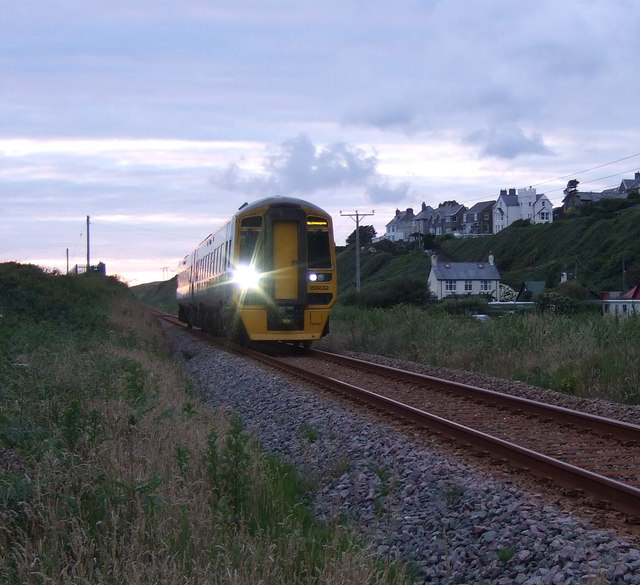
Image: © Bob Abell Taken: 14 Jul 2012
Campsite crossing point, Hendre Mynach, Barmouth The driver gave a quick flash as he passed!
Images are licensed for reuse under creativecommons.org/licenses/by-sa/2.0
Image Location


Leaflet Map data © OpenStreetMap
Latitude
52.733468
Longitude
-4.069195