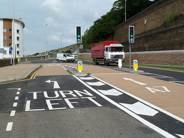
The Galashiels Inner Relief Road
Introduction
The photograph on this page of The Galashiels Inner Relief Road by Walter Baxter as part of the Geograph project.
The Geograph project started in 2005 with the aim of publishing, organising and preserving representative images for every square kilometre of Great Britain, Ireland and the Isle of Man.
There are currently over 7.5m images from over 14,400 individuals and you can help contribute to the project by visiting https://www.geograph.org.uk

Image: © Walter Baxter Taken: 17 Jul 2012
The final phase of the Galashiels Inner Relief Road scheme was opened on the 17th July 2012 with the reintroduction of two way traffic in Ladhope Vale for the first time in 20 years. This is a view towards a new mini roundabout at the junction of Ladhope Vale, Bridge Place and High Buckholmside. Workers from the Borders Regional Council Road Department were in attendance to monitor traffic on the new layout and although no accidents occurred there were a few near misses. A new brick-faced concrete retaining wall on the right was constructed in conjunction with the new road works in preparation for the reintroduction of the Borders Railway Line. For a similar view of this top end of Ladhope Vale in September 2007, see Image

