Barley field to Gower Hall Farm
Introduction
The photograph on this page of Barley field to Gower Hall Farm by Martin Dawes as part of the Geograph project.
The Geograph project started in 2005 with the aim of publishing, organising and preserving representative images for every square kilometre of Great Britain, Ireland and the Isle of Man.

There are currently over 7.5m images from over 14,400 individuals and you can help contribute to the project by visiting https://www.geograph.org.uk
Barley field to Gower Hall Farm
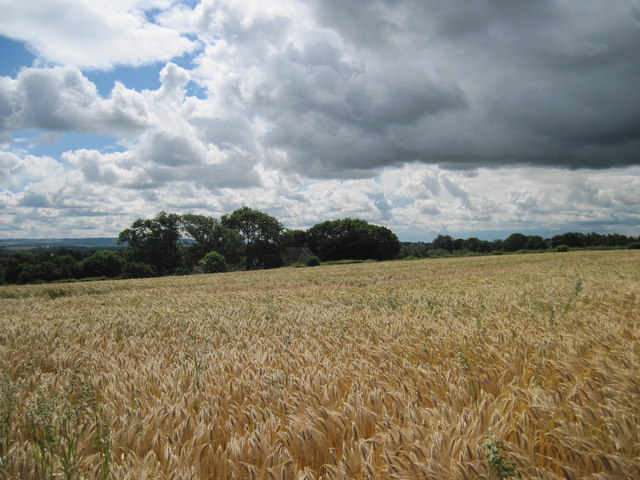
Image: © Martin Dawes Taken: 11 Jul 2012
The farm is nestled in the trees, storm clouds are starting to appear in the sky.
Images are licensed for reuse under creativecommons.org/licenses/by-sa/2.0
Image Location
Latitude
54.082405
Longitude
-0.954885