Path from Church Lane to Bramfield Road
Introduction
The photograph on this page of Path from Church Lane to Bramfield Road by Hugh Craddock as part of the Geograph project.
The Geograph project started in 2005 with the aim of publishing, organising and preserving representative images for every square kilometre of Great Britain, Ireland and the Isle of Man.

There are currently over 7.5m images from over 14,400 individuals and you can help contribute to the project by visiting https://www.geograph.org.uk
Path from Church Lane to Bramfield Road
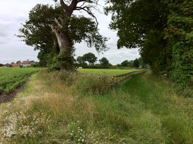
Image: © Hugh Craddock Taken: 20 Jul 2012
Public footpath from Church Lane to Bramfield Lane: the path splits here, that to the left going via Church Farm, and that to the right continuing on to Bartholomew's Farm.
Images are licensed for reuse under creativecommons.org/licenses/by-sa/2.0
Image Location
Latitude
52.322452
Longitude
1.55397