Gossmore Park playing field, Marlow
Introduction
The photograph on this page of Gossmore Park playing field, Marlow by David Hawgood as part of the Geograph project.
The Geograph project started in 2005 with the aim of publishing, organising and preserving representative images for every square kilometre of Great Britain, Ireland and the Isle of Man.

There are currently over 7.5m images from over 14,400 individuals and you can help contribute to the project by visiting https://www.geograph.org.uk
Gossmore Park playing field, Marlow
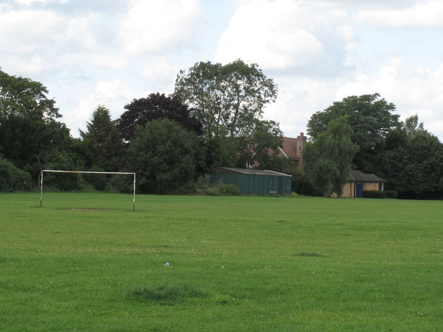
Image: © David Hawgood Taken: 14 Aug 2012
It is along side the Thames and the A404 Marlow Bypass. This area was used for horse racing in the 18th Century.
Images are licensed for reuse under creativecommons.org/licenses/by-sa/2.0
Image Location
Latitude
51.567884
Longitude
-0.763341