Track leading into Haverah Park
Introduction
The photograph on this page of Track leading into Haverah Park by Chris Heaton as part of the Geograph project.
The Geograph project started in 2005 with the aim of publishing, organising and preserving representative images for every square kilometre of Great Britain, Ireland and the Isle of Man.

There are currently over 7.5m images from over 14,400 individuals and you can help contribute to the project by visiting https://www.geograph.org.uk
Track leading into Haverah Park
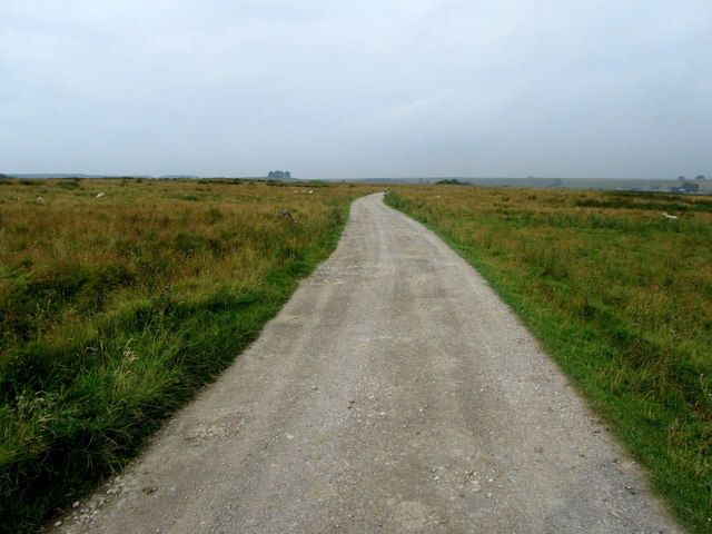
Image: © Chris Heaton Taken: 15 Aug 2012
Substantial track leading from the B6161 at Beckwithshaw towards Springhill Farm and Haverah Park
Images are licensed for reuse under creativecommons.org/licenses/by-sa/2.0
Image Location


Leaflet Map data © OpenStreetMap
Latitude
53.977547
Longitude
-1.606134