Near Orbiston House remains
Introduction
The photograph on this page of Near Orbiston House remains by Ross Watson as part of the Geograph project.
The Geograph project started in 2005 with the aim of publishing, organising and preserving representative images for every square kilometre of Great Britain, Ireland and the Isle of Man.

There are currently over 7.5m images from over 14,400 individuals and you can help contribute to the project by visiting https://www.geograph.org.uk
Near Orbiston House remains
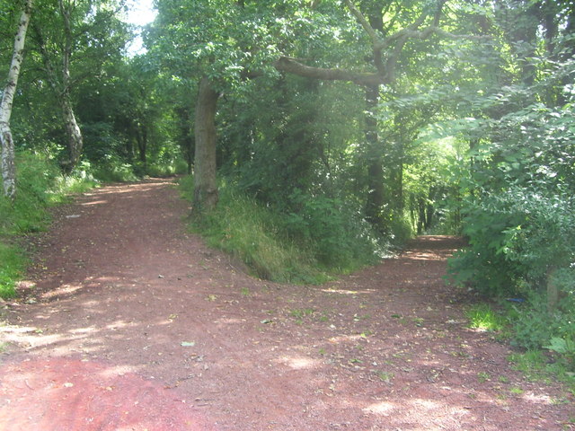
Image: © Ross Watson Taken: 15 Aug 2012
The Greenlink Cycle Path near the former Orbiston House.
Images are licensed for reuse under creativecommons.org/licenses/by-sa/2.0
Image Location
Latitude
55.799411
Longitude
-4.023982