Tafarn Tanerdy, Carmarthen
Introduction
The photograph on this page of Tafarn Tanerdy, Carmarthen by Jaggery as part of the Geograph project.
The Geograph project started in 2005 with the aim of publishing, organising and preserving representative images for every square kilometre of Great Britain, Ireland and the Isle of Man.

There are currently over 7.5m images from over 14,400 individuals and you can help contribute to the project by visiting https://www.geograph.org.uk
Tafarn Tanerdy, Carmarthen
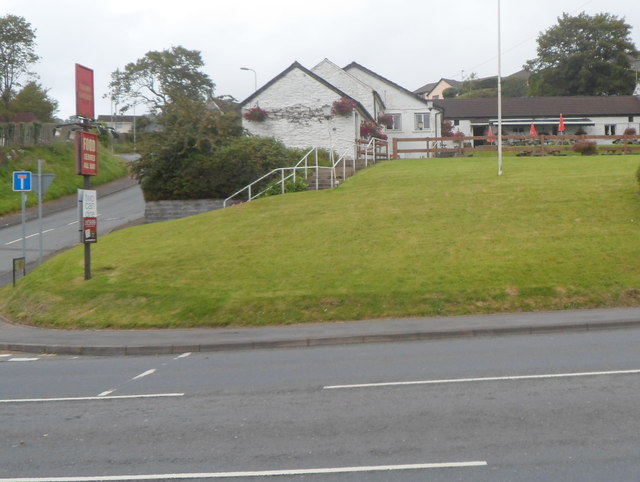
Image: © Jaggery Taken: 12 Aug 2012
Pub set back from the north side of Tanerdy (the A484), on the corner of Penlanffos Road.
Images are licensed for reuse under creativecommons.org/licenses/by-sa/2.0
Image Location
Latitude
51.865229
Longitude
-4.291753