Wick Croft
Introduction
The photograph on this page of Wick Croft by Simon Carey as part of the Geograph project.
The Geograph project started in 2005 with the aim of publishing, organising and preserving representative images for every square kilometre of Great Britain, Ireland and the Isle of Man.

There are currently over 7.5m images from over 14,400 individuals and you can help contribute to the project by visiting https://www.geograph.org.uk
Wick Croft
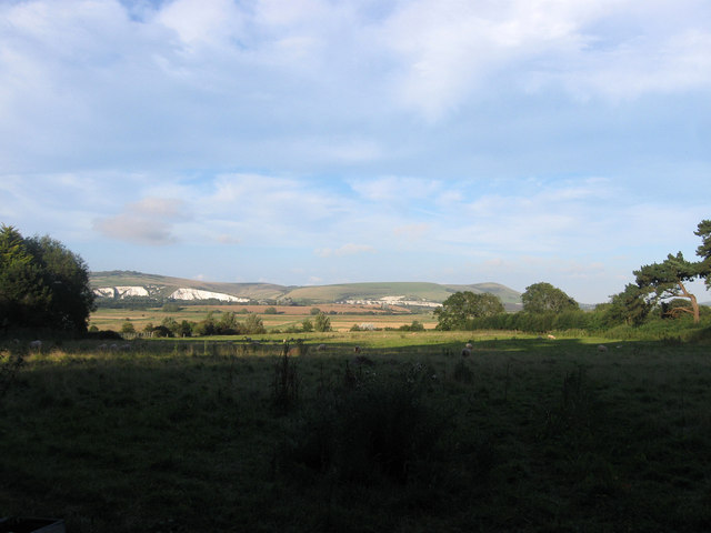
Image: © Simon Carey Taken: 12 Aug 2012
The name of the field according to Kingston's 1843 tithe map. The southern part is now occupied by Owlswick, a small school leaving just this strip lying between the C7 and the footpath that runs parallel to it. Beyond the land drops down onto The Brooks with Cliffe Hill, Ranscombe Hill and Mount Caburn visible on the far side of the valley.
Images are licensed for reuse under creativecommons.org/licenses/by-sa/2.0
Image Location
Latitude
50.856211
Longitude
-0.007917