Service road off Livery Street
Introduction
The photograph on this page of Service road off Livery Street by Robin Stott as part of the Geograph project.
The Geograph project started in 2005 with the aim of publishing, organising and preserving representative images for every square kilometre of Great Britain, Ireland and the Isle of Man.

There are currently over 7.5m images from over 14,400 individuals and you can help contribute to the project by visiting https://www.geograph.org.uk
Service road off Livery Street
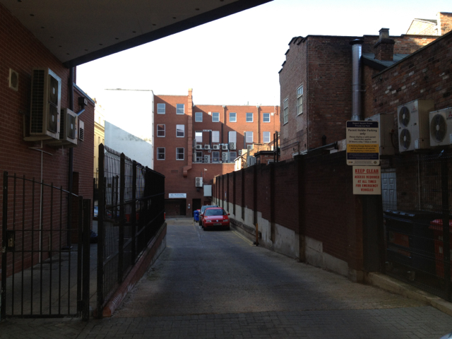
Image: © Robin Stott Taken: 6 Mar 2012
Livery Street sounds old but is a recent creation, a street of shops and cafés in the former backland of the Regent Hotel, Regent Street east and Regent Grove. On the right here is the rear of Regent Street east shops. Straight ahead is the back of Regent Square House which fronts on to the Parade (built controversially on the site of the Regent Hotel's garden). I worked there when Warwick District Council's offices were scattered all over the town centre.
Images are licensed for reuse under creativecommons.org/licenses/by-sa/2.0
Image Location
Latitude
52.289957
Longitude
-1.534467