The building of semi-detached houses in Ysbyty Ystwyth
Introduction
The photograph on this page of The building of semi-detached houses in Ysbyty Ystwyth by Brenda Coles as part of the Geograph project.
The Geograph project started in 2005 with the aim of publishing, organising and preserving representative images for every square kilometre of Great Britain, Ireland and the Isle of Man.

There are currently over 7.5m images from over 14,400 individuals and you can help contribute to the project by visiting https://www.geograph.org.uk
The building of semi-detached houses in Ysbyty Ystwyth
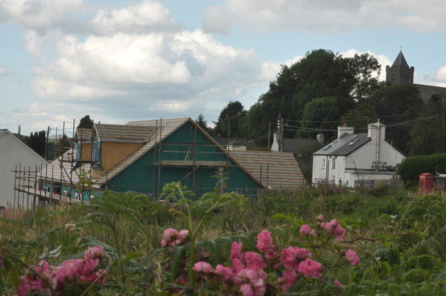
Image: © Brenda Coles Taken: 14 Aug 2012
This picture has been taken from the same position as http://www.geograph.org.uk/photo/3078864. The face of Ysbyty Ystwyth has changed dramatically in nearly one year time by the building of two semi-detached houses.
Images are licensed for reuse under creativecommons.org/licenses/by-sa/2.0
Image Location
Latitude
52.32635
Longitude
-3.862634