Ballenbreich farm
Introduction
The photograph on this page of Ballenbreich farm by M J Richardson as part of the Geograph project.
The Geograph project started in 2005 with the aim of publishing, organising and preserving representative images for every square kilometre of Great Britain, Ireland and the Isle of Man.

There are currently over 7.5m images from over 14,400 individuals and you can help contribute to the project by visiting https://www.geograph.org.uk
Ballenbreich farm
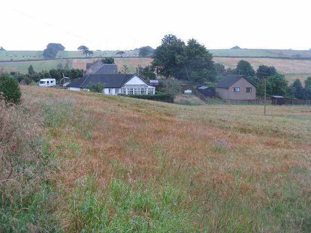
Image: © M J Richardson Taken: 14 Aug 2012
On the north bank of the River Avon, so just in Falkirk Council area. The field crop is barley, thin and still very unripe.
Images are licensed for reuse under creativecommons.org/licenses/by-sa/2.0
Image Location
Latitude
55.935322
Longitude
-3.714229