Stanley Turner Recreation Ground (1)
Introduction
The photograph on this page of Stanley Turner Recreation Ground (1) by Simon Carey as part of the Geograph project.
The Geograph project started in 2005 with the aim of publishing, organising and preserving representative images for every square kilometre of Great Britain, Ireland and the Isle of Man.

There are currently over 7.5m images from over 14,400 individuals and you can help contribute to the project by visiting https://www.geograph.org.uk
Stanley Turner Recreation Ground (1)
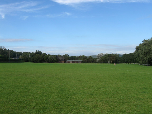
Image: © Simon Carey Taken: 12 Aug 2012
The land on which the recreation ground was built was given to Lewes for that purpose in 1934 not long after its transfer from the parish of Kingston. Prior to that it was a series of meadows and drainage channels known as The Cannels according to a 1799 estate map of Kingston. The recreation ground is shared by Lewes Rugby Club and Lewes Priory Cricket Club both of whom moved here in 1937. The two clubhouses at the end of the main rugby pitch date from 1937 and 1979 respectively. See also Image, Image and Image
Images are licensed for reuse under creativecommons.org/licenses/by-sa/2.0
Image Location
Latitude
50.864219
Longitude
-0.002886