Romney Road
Introduction
The photograph on this page of Romney Road by Stephen Craven as part of the Geograph project.
The Geograph project started in 2005 with the aim of publishing, organising and preserving representative images for every square kilometre of Great Britain, Ireland and the Isle of Man.

There are currently over 7.5m images from over 14,400 individuals and you can help contribute to the project by visiting https://www.geograph.org.uk
Romney Road
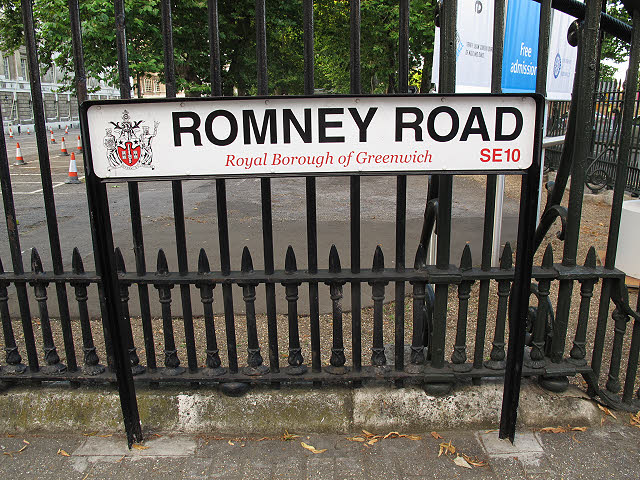
Image: © Stephen Craven Taken: 8 Aug 2012
How many Americans who came to Greenwich for the Olympics though this road had been re-named for their Republican presidential candidate Mitt Romney? In fact it may have ironically been named after HMS Romney http://en.wikipedia.org/wiki/HMS_Romney_(1762) , a British ship in the American War of Independence. The sign is new for 2012, when Greenwich became a Royal Borough.
Images are licensed for reuse under creativecommons.org/licenses/by-sa/2.0
Image Location
Latitude
51.482775
Longitude
-0.003344