Footpath near Langdon Barton
Introduction
The photograph on this page of Footpath near Langdon Barton by Derek Harper as part of the Geograph project.
The Geograph project started in 2005 with the aim of publishing, organising and preserving representative images for every square kilometre of Great Britain, Ireland and the Isle of Man.

There are currently over 7.5m images from over 14,400 individuals and you can help contribute to the project by visiting https://www.geograph.org.uk
Footpath near Langdon Barton
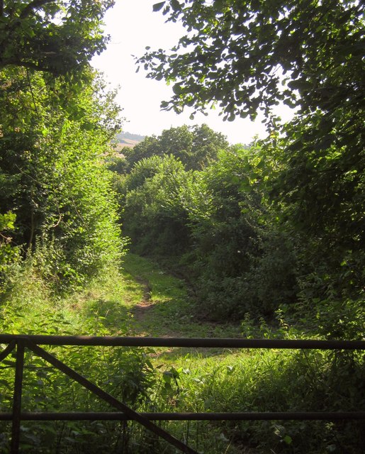
Image: © Derek Harper Taken: 10 Aug 2012
Ashcombe Footpath 4 follows a green lane that winds down from a ridge to join the lane along the Dawlish Water valley, as shown in Image From this gate on it is used for farming activity; the section behind the camera is mostly used by badgers or foxes.
Images are licensed for reuse under creativecommons.org/licenses/by-sa/2.0
Image Location
Latitude
50.60325
Longitude
-3.510966