The eastern side of Wing Maze
Introduction
The photograph on this page of The eastern side of Wing Maze by Christine Johnstone as part of the Geograph project.
The Geograph project started in 2005 with the aim of publishing, organising and preserving representative images for every square kilometre of Great Britain, Ireland and the Isle of Man.

There are currently over 7.5m images from over 14,400 individuals and you can help contribute to the project by visiting https://www.geograph.org.uk
The eastern side of Wing Maze
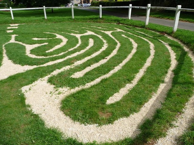
Image: © Christine Johnstone Taken: 5 Aug 2012
More properly known as a labyrinth. A path cut into the turf branches into many dead ends, but can be walked continuously from the outside to the centre, and back again.
Images are licensed for reuse under creativecommons.org/licenses/by-sa/2.0
Image Location


Leaflet Map data © OpenStreetMap
Latitude
52.61587
Longitude
-0.67893