Barns, Kingston Farm
Introduction
The photograph on this page of Barns, Kingston Farm by Simon Carey as part of the Geograph project.
The Geograph project started in 2005 with the aim of publishing, organising and preserving representative images for every square kilometre of Great Britain, Ireland and the Isle of Man.

There are currently over 7.5m images from over 14,400 individuals and you can help contribute to the project by visiting https://www.geograph.org.uk
Barns, Kingston Farm
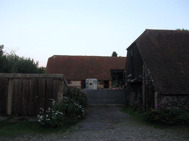
Image: © Simon Carey Taken: 10 Aug 2012
Viewed from The Street. The facing barn dates from the 18th century whilst the weatherboarded building to the right is a former granary. They are joined by a cattle shed out of shot to the right and surround a working farmyard.
Images are licensed for reuse under creativecommons.org/licenses/by-sa/2.0
Image Location
Latitude
50.855765
Longitude
-0.023992