Back Vincent Street
Introduction
The photograph on this page of Back Vincent Street by Alan Murray-Rust as part of the Geograph project.
The Geograph project started in 2005 with the aim of publishing, organising and preserving representative images for every square kilometre of Great Britain, Ireland and the Isle of Man.

There are currently over 7.5m images from over 14,400 individuals and you can help contribute to the project by visiting https://www.geograph.org.uk
Back Vincent Street
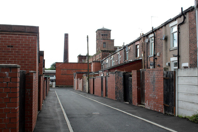
Image: © Alan Murray-Rust Taken: 25 Jul 2012
On the right the rear of the houses seen in http://www.geograph.org.uk/photo/3079626. The back street provided access for the refuse and night soil carts. This is a relatively wide example, and the original setted surface has been repaved with a bituminised surface.
Images are licensed for reuse under creativecommons.org/licenses/by-sa/2.0
Image Location
Latitude
53.576134
Longitude
-2.446384