Llwybr Ceffyl Trepwll / Trepwll bridleway
Introduction
The photograph on this page of Llwybr Ceffyl Trepwll / Trepwll bridleway by Alan Richards as part of the Geograph project.
The Geograph project started in 2005 with the aim of publishing, organising and preserving representative images for every square kilometre of Great Britain, Ireland and the Isle of Man.

There are currently over 7.5m images from over 14,400 individuals and you can help contribute to the project by visiting https://www.geograph.org.uk
Llwybr Ceffyl Trepwll / Trepwll bridleway
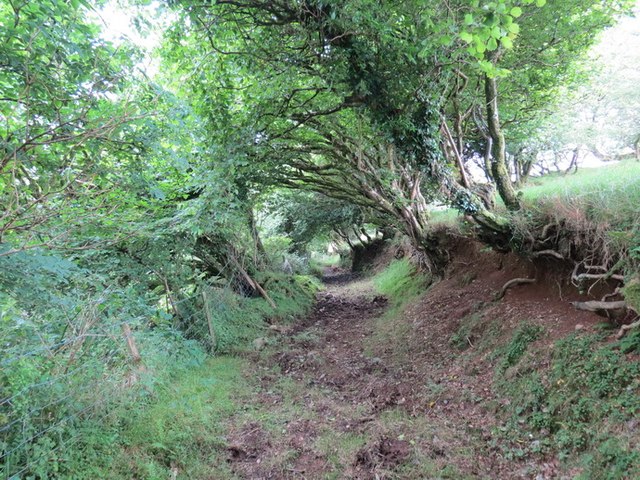
Image: © Alan Richards Taken: 12 Aug 2012
Llwybr ceffyl yn arwain i lawr o Ffarm Trellwyn Fach at dy-annedd o'r enw Trepwll A bridleway leading down from Trellwyn Fach (trans. the lesser grove settlement) Farm towards a property known as Trepwll (trans. settlement of the pool/pit).
Images are licensed for reuse under creativecommons.org/licenses/by-sa/2.0
Image Location
Latitude
51.981057
Longitude
-4.902779