Ysbyty Ystwyth
Introduction
The photograph on this page of Ysbyty Ystwyth by Brenda Coles as part of the Geograph project.
The Geograph project started in 2005 with the aim of publishing, organising and preserving representative images for every square kilometre of Great Britain, Ireland and the Isle of Man.

There are currently over 7.5m images from over 14,400 individuals and you can help contribute to the project by visiting https://www.geograph.org.uk
Ysbyty Ystwyth
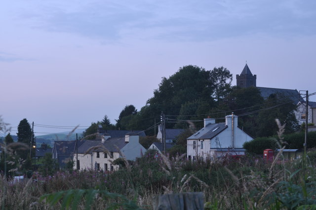
Image: © Brenda Coles Taken: 1 Sep 2011
An evening view at Ysbyty Ystwyth. This photo has been taken from the road to Ystrad Meurig, near the junction with the B4343.
Images are licensed for reuse under creativecommons.org/licenses/by-sa/2.0
Image Location
Latitude
52.325977
Longitude
-3.863498