Trews Weir Reach
Introduction
The photograph on this page of Trews Weir Reach by David Smith as part of the Geograph project.
The Geograph project started in 2005 with the aim of publishing, organising and preserving representative images for every square kilometre of Great Britain, Ireland and the Isle of Man.

There are currently over 7.5m images from over 14,400 individuals and you can help contribute to the project by visiting https://www.geograph.org.uk
Trews Weir Reach
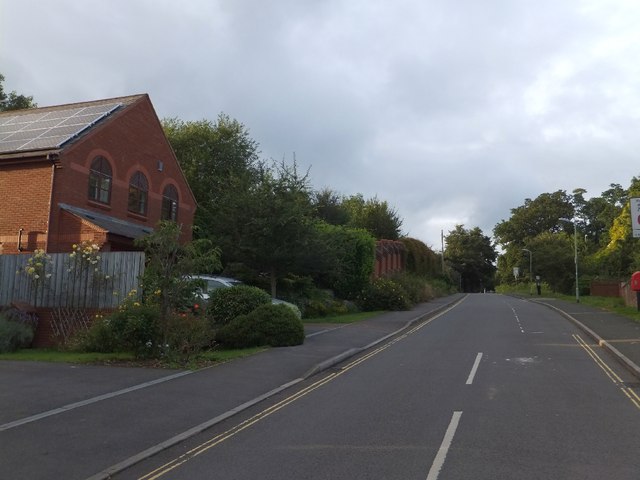
Image: © David Smith Taken: 8 Aug 2012
This road gives access to the modern (mostly) flats and houses in the Trews Weir estate. It was formerly a track used to access a few older houses and Exeter City Council's nurseries on Belle Isle, when it was known as Bungalow Lane.
Images are licensed for reuse under creativecommons.org/licenses/by-sa/2.0
Image Location
Latitude
50.714543
Longitude
-3.521342