Streetly End: The Old Chequers
Introduction
The photograph on this page of Streetly End: The Old Chequers by John Sutton as part of the Geograph project.
The Geograph project started in 2005 with the aim of publishing, organising and preserving representative images for every square kilometre of Great Britain, Ireland and the Isle of Man.

There are currently over 7.5m images from over 14,400 individuals and you can help contribute to the project by visiting https://www.geograph.org.uk
Streetly End: The Old Chequers
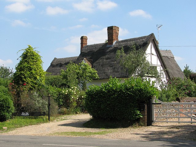
Image: © John Sutton Taken: 11 Aug 2012
Grade II Listed and rethatched after the 1985 fire mentioned in the British Listed Buildings citation - see http://www.britishlistedbuildings.co.uk/en-51359-chequers-public-house-45-west-wickham (which has not been updated since 1986).
Images are licensed for reuse under creativecommons.org/licenses/by-sa/2.0
Image Location
Latitude
52.107469
Longitude
0.35697