Celtic Carvery, Abercynon
Introduction
The photograph on this page of Celtic Carvery, Abercynon by Jaggery as part of the Geograph project.
The Geograph project started in 2005 with the aim of publishing, organising and preserving representative images for every square kilometre of Great Britain, Ireland and the Isle of Man.

There are currently over 7.5m images from over 14,400 individuals and you can help contribute to the project by visiting https://www.geograph.org.uk
Celtic Carvery, Abercynon
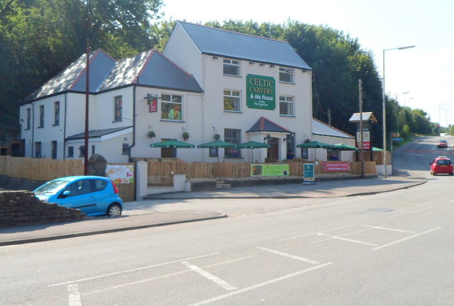
Image: © Jaggery Taken: 10 Aug 2012
Located alongside the B4275 facing the Martin's Terrace junction. A blue plaque on the wall records that the building, Navigation House, dates from 1792. It was formerly the offices of the Glamorganshire Canal Company. It was later the Navigation House pub. http://www.geograph.org.uk/photo/69776 After refurbishment and renaming as the Celtic Carvery & Ale House at the Navigation, the premises reopened in the spring of 2012.
Images are licensed for reuse under creativecommons.org/licenses/by-sa/2.0
Image Location
Latitude
51.644511
Longitude
-3.325219