Old weir on the River Teviot
Introduction
The photograph on this page of Old weir on the River Teviot by Jim Barton as part of the Geograph project.
The Geograph project started in 2005 with the aim of publishing, organising and preserving representative images for every square kilometre of Great Britain, Ireland and the Isle of Man.

There are currently over 7.5m images from over 14,400 individuals and you can help contribute to the project by visiting https://www.geograph.org.uk
Old weir on the River Teviot
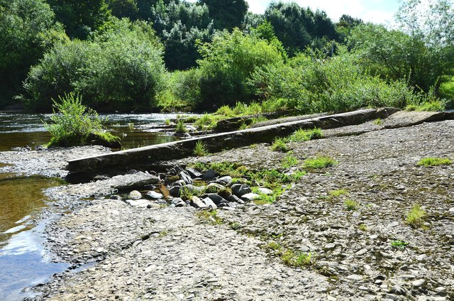
Image: © Jim Barton Taken: 10 Aug 2012
Remains of a weir that once would have supplied water for powering the woollen mills downstream.
Images are licensed for reuse under creativecommons.org/licenses/by-sa/2.0
Image Location
Latitude
55.43837
Longitude
-2.749769