Signpost at the southern edge of Navigation Park, Abercynon
Introduction
The photograph on this page of Signpost at the southern edge of Navigation Park, Abercynon by Jaggery as part of the Geograph project.
The Geograph project started in 2005 with the aim of publishing, organising and preserving representative images for every square kilometre of Great Britain, Ireland and the Isle of Man.

There are currently over 7.5m images from over 14,400 individuals and you can help contribute to the project by visiting https://www.geograph.org.uk
Signpost at the southern edge of Navigation Park, Abercynon
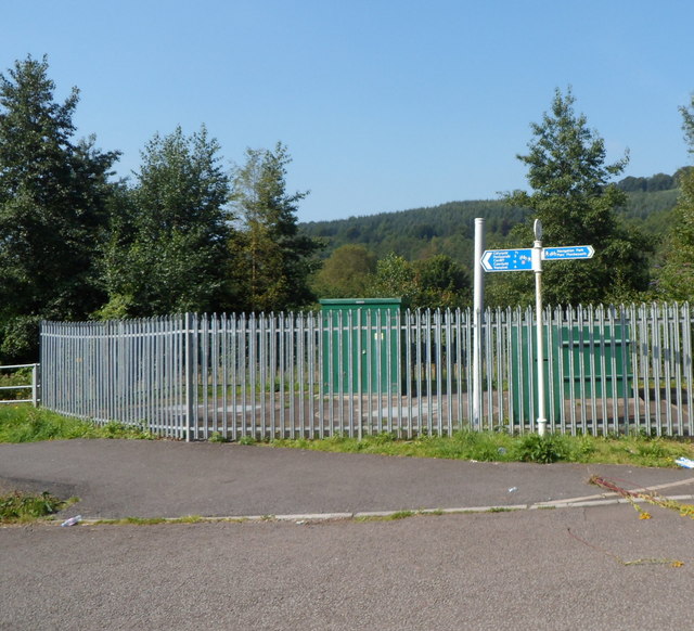
Image: © Jaggery Taken: 10 Aug 2012
For nearly a century, from 1889 to 1988, Navigation Park was the site of Abercynon Colliery. Now the area contains several offices, and there are cycle routes and footpaths. One sign arm points right towards the centre of Navigation Park. The arm pointing left shows (distances in miles) Cilfynydd 1½ Pontypridd 3 Ynysybwl 4 Cardiff 15.
Images are licensed for reuse under creativecommons.org/licenses/by-sa/2.0
Image Location
Latitude
51.639069
Longitude
-3.329396