Hintersitch Lane in Whatstandwell
Introduction
The photograph on this page of Hintersitch Lane in Whatstandwell by Jonathan Clitheroe as part of the Geograph project.
The Geograph project started in 2005 with the aim of publishing, organising and preserving representative images for every square kilometre of Great Britain, Ireland and the Isle of Man.

There are currently over 7.5m images from over 14,400 individuals and you can help contribute to the project by visiting https://www.geograph.org.uk
Hintersitch Lane in Whatstandwell
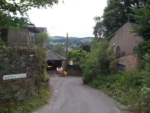
Image: © Jonathan Clitheroe Taken: 10 Aug 2012
Pictured here at the junction with Middle Lane, this narrow lane winds down towards the busy A6 road in the Derwent Valley below. Note the disused Methodist Chapel on the right of picture.
Images are licensed for reuse under creativecommons.org/licenses/by-sa/2.0
Image Location
Latitude
53.08415
Longitude
-1.50027