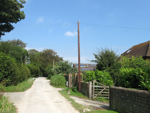
Kingston Ridge
Introduction
The photograph on this page of Kingston Ridge by Simon Carey as part of the Geograph project.
The Geograph project started in 2005 with the aim of publishing, organising and preserving representative images for every square kilometre of Great Britain, Ireland and the Isle of Man.
There are currently over 7.5m images from over 14,400 individuals and you can help contribute to the project by visiting https://www.geograph.org.uk

Image: © Simon Carey Taken: 10 Aug 2012
Originally part of the old Juggs Road that linked Lewes to Brighton via the crest of the Downs. After the First World War plots along this section of the road were sold to returning officers resulting in a ribbon development separate from the main village.

