Disused signalbox viewed from the SW, Abercynon
Introduction
The photograph on this page of Disused signalbox viewed from the SW, Abercynon by Jaggery as part of the Geograph project.
The Geograph project started in 2005 with the aim of publishing, organising and preserving representative images for every square kilometre of Great Britain, Ireland and the Isle of Man.

There are currently over 7.5m images from over 14,400 individuals and you can help contribute to the project by visiting https://www.geograph.org.uk
Disused signalbox viewed from the SW, Abercynon
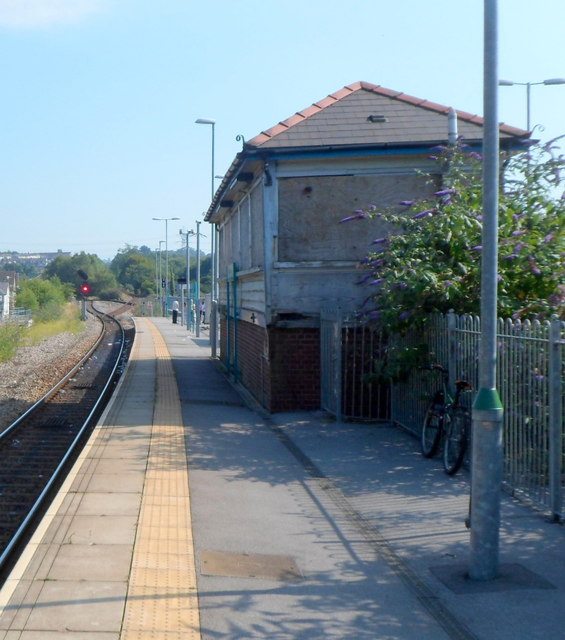
Image: © Jaggery Taken: 10 Aug 2012
Viewed along the platform used for arrivals from the south and departures to the north, along either the Aberdare line or the Merthyr Tydfil line. The signalbox http://www.geograph.org.uk/photo/3076359 was in use until 2008, when it was replaced by the newly-built signalling centre. http://www.geograph.org.uk/photo/3076373
Images are licensed for reuse under creativecommons.org/licenses/by-sa/2.0
Image Location
Latitude
51.642648
Longitude
-3.330945